
- Area:
- Area: 59,441 sq.mi (153,952 sq.km.), 24th
- Land: 57,919 sq.mi. (150,010 sq.km.), 21st
- Water: 1,522 sq.mi. (3,942 sq.km.), 24th
- Coastline: 100 mi. (161 km.), 16th
- Shoreline: 2,344 mi. (3,772 km.), 12th
- Border States:
- Climate:
- County Profile:
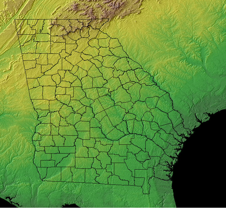
Georgia County Map , 159 Counties
- Geographic Center:
Twiggs, 18 miles southeast of Macon
- Highest Point:
Brasstown Bald ; 4,784 feet, (1,458 m), 25th tallest
- Location:
- Absolute Center: 32°42.8’N / 83°29.7’W
- Relative Center: Twiggs, 18 miles southeast of Macon
- Distance Between U.S. Cities
- Lowest Point:
Georgia; sea level, tied for 3rd lowest
- Maps:
- National Forest:
- Topography:
Image | | Most southerly of the Blue Ridge Mountains cover northeast and north central; central Piedmont extends to the fall line of rivers; coastal plain levels to coastal flatlands.
- Weather:
- Community and Technical Colleges:
- Nursing Schools:
- School Directory:
- Biographies:
- Community Pages:
- Current Events:
- Media:
- Newspapers:
- Presidential Birthplace:
- James Earl Carter, Jr., 1977-1981 (39th) | October 1, 1924 | Plains, Georgia
- Sports:
- Yellow Pages:
- History:
- Economy:
- Agriculture: Poultry and eggs, peanuts, cattle, hogs, dairy products, vegetables.
- Industry: Textiles and apparel, transportation equipment, food processing, paper products, chemical products, electric equipment, tourism.
- White Pages:
- Internet Service Providers:
- Real Estate:
- Unclaimed Funds:

