
Minnesota
- Area:
- Area: 86,943 sq.mi (225,182 sq.km.), 12th
- Land: 79,617 sq.mi. (206,207 sq.km.), 14th
- Water: 7,326 sq.mi. (18,974 sq.km.), 7th
- Great Lakes: 2,546 sq.mi. (6,594 sq.km.),tied for 5th
- Border States:
- Climate:
- County Profile:
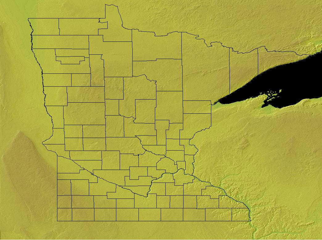
Minnesota County Map , 87 Counties
- Geographic Center:
Crow Wing, 10 miles southwest of Brainerd
- Highest Point:
Eagle Mountain ; 2,301 feet, (701 m.), 37th tallest
- Location:
- Absolute Center: 46°1.5’N / 95°19.6’W
- Relative Center: Crow Wing, 10 miles southwest of Brainerd
- Distance Between U.S. Cities
- Lowest Point:
Minnesota; 602 feet, 40th lowest
- Maps:
- National Forest:
- Topography:
Image | | Central hill and lake region covering approximatley half the state; to the northeast, rocky ridges and deep lakes; to the northwest, flat plains; to the south, rolling plains and deep river valleys.
- Weather:
- Community and Technical Colleges:
- Nursing Schools:
- School Directory:
- Biographies:
- Community Pages:
- Current Events:
- Media:
- Newspapers:
- Sports:
- Yellow Pages:
- History:
- Economy:
- Agriculture: Dairy products, corn, cattle, soybeans, hogs, wheat, turkeys.
- Industry: Machinery, food processing, printing and publishing, fabricated metal products, electric equipment, mining, tourism.
- White Pages:
- Internet Service Providers:
- Real Estate:
- Unclaimed Funds:

- Admission to Statehood:
May 11, 1858 (32nd State)
- Area:
- Area: 86,943 sq.mi (225,182 sq.km.), 12th
- Land: 79,617 sq.mi. (206,207 sq.km.), 14th
- Water: 7,326 sq.mi. (18,974 sq.km.), 7th
- Great Lakes: 2,546 sq.mi. (6,594 sq.km.),tied for 5th
- Constitution:
Minnesota’s Constitution , 32nd State
- Capital City:
- Nickname:
- Population (2019):
5,639,632; Rank: 22 of 50 | Population Quick Facts
- Area Codes:
- Bird:
- Capital City:
- City Guides:
- Constitution:
Minnesota’s Constitution , 32nd State
- Fast Facts:
- Flag:

The Minnesota state flag is royal blue, with a gold fringe. In the center of the flag is the state seal. Around the state seal is a wreath of the state flower, the lady slipper. Three dates are woven into the wreath: 1858, the year Minnesota became a state; 1819, the year Fort Snelling was established; and 1893, the year the official flag was adopted. Nineteen stars ring the wreath. The largest star represents Minnesota. Get this Flag - Flower:
Pink and white Lady’s-Slipper (Cypripedium reginae) | Other State Flowers
- Largest Cities:
Minneapolis | Saint Paul | Rochester | Duluth | Bloomington | Plymouth | St. Cloud | Eagan | Woodbury
- Nickname:
- Origin of State Name:
Based on the Dakota Sioux Indian word mnisota for “sky-tinted water,” referring to the Minnesota River
- Population (2019):
5,639,632; Rank: 22 of 50 | Population Quick Facts
- Soil:
Lester
- Song:
- “Hail Minnesota” | Words by: Truman E. Richard and Arthur E. Upson | Music by: Truman E. Richard
- Other State Songs | Sheet Music
- State Quarter:
- Symbols:
- Tree:
Red Pine (Pinus resinosa) | Other State Trees
- Zip Codes:
- Capital Tour:
- County Profile:
Minnesota County Map Minnesota County Map , 87 Counties
- Courts:
- Department of:
- Driving:
- Highway Markers:
- Local Resources:
- Public Records:
- Representatives:
- Roadside America:
- Vital Records: