
Oregon
- Location:
- Absolute Center: 43°52.1’N / 120°58.7’W
- Relative Center: Crook, 25 miles south southeast of Prineville
- Distance Between U.S. Cities
- Lowest Point:
Oregon; sea level, tied for 3rd lowest
- Maps:
- National Forest:
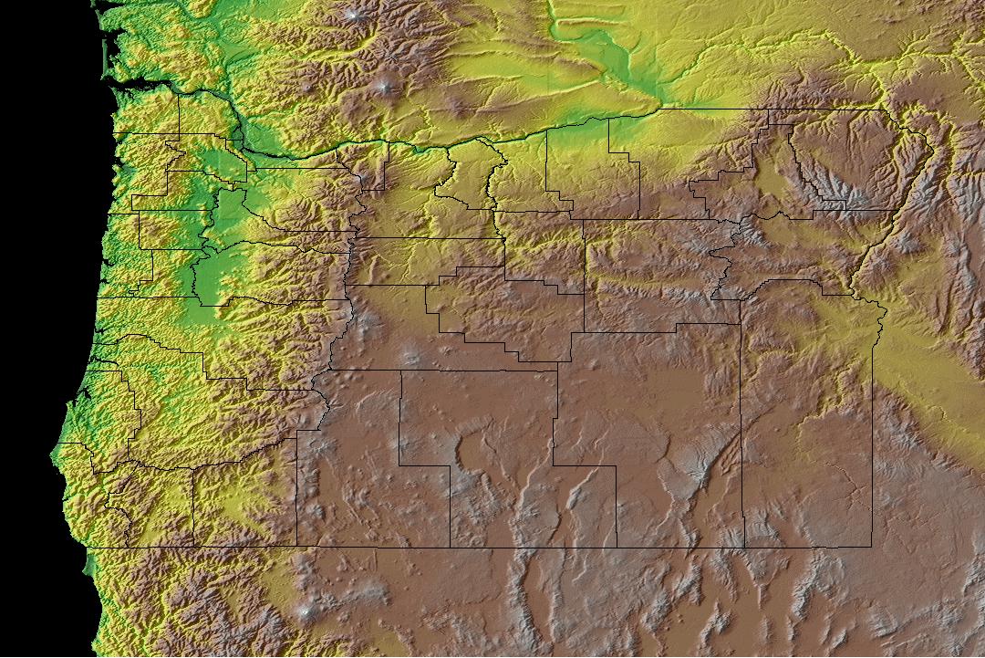
- Topography:
Image | | Rugged coast range; fertile Willamette River Valley to east and south; Cascade Mountain range of volcanic peaks east of the valley; plateau east of Cascades, in remaining two-thirds of the state.
- Weather:
- Community and Technical Colleges:
- Nursing Schools:
- School Directory:
People
- Biographies:
- Community Pages:
- Current Events:
- Media:
- Newspapers:
- Sports:
- Yellow Pages:
- Library:
- Museums:
- State Parks:
- History:
- Economy:
- Agriculture: Cattle, vegetables, nursery stock, fruits and nuts, dairy products, wheat.
- Industry: Lumber and wood products, tourism, food processing, paper products, machinery, scientific instruments.
- White Pages:
- Internet Service Providers:
- Real Estate:

- Admission to Statehood:
February 14, 1859 (33rd State)
- Area:
- Area: 98,386 sq.mi (254,819 sq.km.), 9th
- Land: 96,003 sq.mi. (248,647 sq.km.), 10th
- Water: 2,383 sq.mi. (6,172 sq.km.), 19th
- Coastline: 296 mi. (476 km.), 8th
- Shoreline: 1,410 mi. (2,269 km.), 16th
- Constitution:
Oregon’s Constitution , 33rd State
- Capital City:
- Nickname:
- Population (2019):
3,930,065; Rank: 27 of 50 | Population Quick Facts
- Area Codes:
- Bird:
- Capital City:
- City Guides:
- Constitution:
Oregon’s Constitution , 33rd State
- Fast Facts:
- Flag:

 The flag of Oregon is the only state flag with different pictures on each side. On the reverse appears a beaver the state animal. Both sides have a field of navy blue with design in gold. The front picture includes a heart shaped shield with an eagle on top,surronded by thirty-three stars. (The number of states in 1859.) The scene on the shield shows the sun setting over the Pacific Ocean, mountains, forests and a covered wagon. A plow, wheat and pickax represent farming and mining. Of the two ships: The one leaving is a British ship and the one arriving is a United States ship representing trade. The eagle represents the United States. On a banner are the words “The Union” representing support for the United States. Finally the flag is emblazoned with the words “State of Oregon” above the picture and the date of statehood “1859” below. Get this Flag
 - Flower:
Oregon Grape (Mahonia aquifolium) | Other State Flowers
- Largest Cities:
- Nickname:
- Origin of State Name:
Origin and meaning of name unknown, may be based on the French word ouragan meaning “hurricane,” as the French referred to the Columbia River as le fleuve aux ouragans meaning “Hurricane River”
- Population (2019):
3,930,065; Rank: 27 of 50 | Population Quick Facts
- Soil:
Jory
- Song:
- “Oregon, My Oregon” | Words by: J.A. Buchanan | Music by: Henry Murtagh
- Other State Songs | Sheet Music
- State Quarter:
- Symbols:
- Tree:
Douglas Fir (Pseudotsuga menziesii) | Other State Trees
- Zip Codes:
- Capital Tour:
- County Profile:
Oregon County Map Oregon County Map , 36 Counties
- Courts:
- Department of:
- Driving:
- Highway Markers:
- Local Resources:
- Public Records:
- Representatives:
- Roadside America:
- Vital Records:
- Area:
- Area: 98,386 sq.mi (254,819 sq.km.), 9th
- Land: 96,003 sq.mi. (248,647 sq.km.), 10th
- Water: 2,383 sq.mi. (6,172 sq.km.), 19th
- Coastline: 296 mi. (476 km.), 8th
- Shoreline: 1,410 mi. (2,269 km.), 16th
- Border States:
- Climate:
- County Profile:
Oregon County Map , 36 Counties
- Geographic Center:
Crook, 25 miles southsoutheast of Prineville
- Highest Point:
Mount Hood ; 11,239 feet, ( 3,429 m.) 13th tallest