
Alabama
- National Forest:
- Topography:
Image | | coastal plains, hills, broken terrain
- Weather:
- Community and Technical Colleges:
- Nursing Schools:
- School Directory:
- Community Pages:
- Current Events:
- Media:
- Newspapers:
- Sports:
- Yellow Pages:

- Economy:
- Agriculture: Poultry and eggs, cattle, nursery stock, peanuts, cotton, vegetables, milk, soybeans.
- Industry: Paper, lumber and wood products, mining, rubber and plastic products, transportation equipment, apparel.
- White Pages:
- Internet Service Providers:
- Real Estate:
- Unclaimed Funds:

- Admission to Statehood:
December 14, 1819 (22nd State)
- Area:
- Area: 52,423 sq.mi (135,775 sq.km.), 30th
- Land: 50,750 sq.mi. (131,442 sq.km.), 28th
- Water: 1,673 sq.mi. (4,333 sq.km.), 23rd
- Coastline: 53 mi. (85 km.), 17th
- Shoreline: 607 mi. (977 km.), 19th
- Constitution:
Alabama’s Constitution , 22nd State
- Capital City:
- Nickname:
- Population (2013):
4,903,185; Rank: 24 of 50 | Population Quick Facts
- Area Codes:
- Bird:
- Capital City:
- City Guides:
- Constitution:
Alabama’s Constitution , 22nd State
- Fast Facts:
- Flag:
- Flower:
Camellia (Camellia japonica L.) | Other State Flowers
- Largest Cities:
Birmingham | Montgomery | Mobile | Huntsville | Tuscaloosa | Hoover | Dothan | Decatur | Auburn | Madison
- Nickname:
- Origin of State Name:
Based on the Choctaw word albah amo meaning “thicket clearers”
- Population (2013):
4,833,722; Rank: 23 of 50 | Population Quick Facts
- Soil:
Bama
- Song:
- “Alabama” | Words by: Julia S. Tutwiler | Music by: Edna G. Gussen
- Other State Songs | Sheet Music
- State Quarter:
- Symbols:
- Tree:
Longleaf Pine (Pinus palustris) | Other State Trees
- Zip Codes:
 A crimson St. Andrew’s cross on a white field, patterned after the Confederate Battle Flag, and adopted in 1895. The bars forming the cross must not be less than six inches broad and must extend diagonally across the flag from side to side.
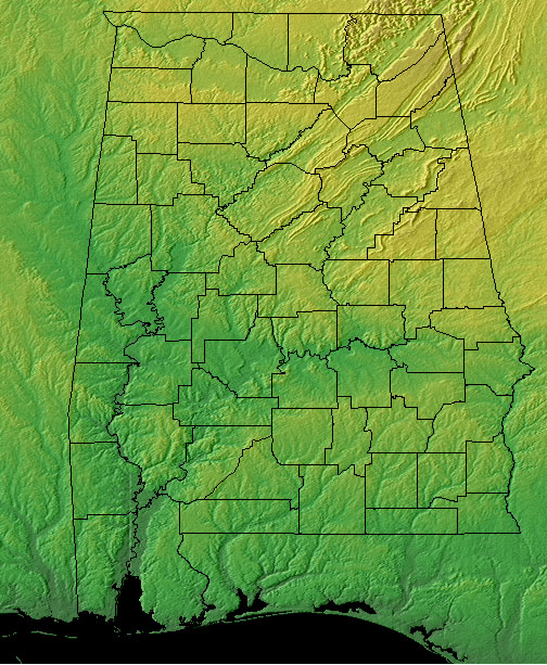
- Capital Tour:
- County Profile:
Alabama County Map Alabama County Map , 67 Counties
- Courts:
- Department of:
- Driving:
- Highway Markers:
- Local Resources:
- Public Records:
- Roadside America:
- Vital Records:
- Area:
- Area: 52,423 sq.mi (135,775 sq.km.), 30th
- Land: 50,750 sq.mi. (131,442 sq.km.), 28th
- Water: 1,673 sq.mi. (4,333 sq.km.), 23rd
- Coastline: 53 mi. (85 km.), 17th
- Shoreline: 607 mi. (977 km.), 19th
- Border States:
- Climate:
- County Profile:
Alabama County Map , 67 Counties
- Geographic Center:
Chilton, 12 miles southwest of Clanton
- Highest Point:
Cheaha Mountain ; 2,407 feet (734 m.), 35th tallest
- Location:
- Absolute Center: 32°50.5’N / 86°38’W
- Relative Center: Chilton, 12 miles southwest of Clanton
- Distance Between U.S. Cities
- Lowest Point:
Alabama; sea level, tied for 3rd lowest
- Maps:
- Location: