
South Dakota
- Area:
- Area: 77,121 sq.mi (199,743 sq.km.), 17th
- Land: 75,898 sq.mi. (196,575 sq.km.), 16th
- Water: 1,224 sq.mi. (3,170 sq.km.), 29th
- Border States:
- Climate:
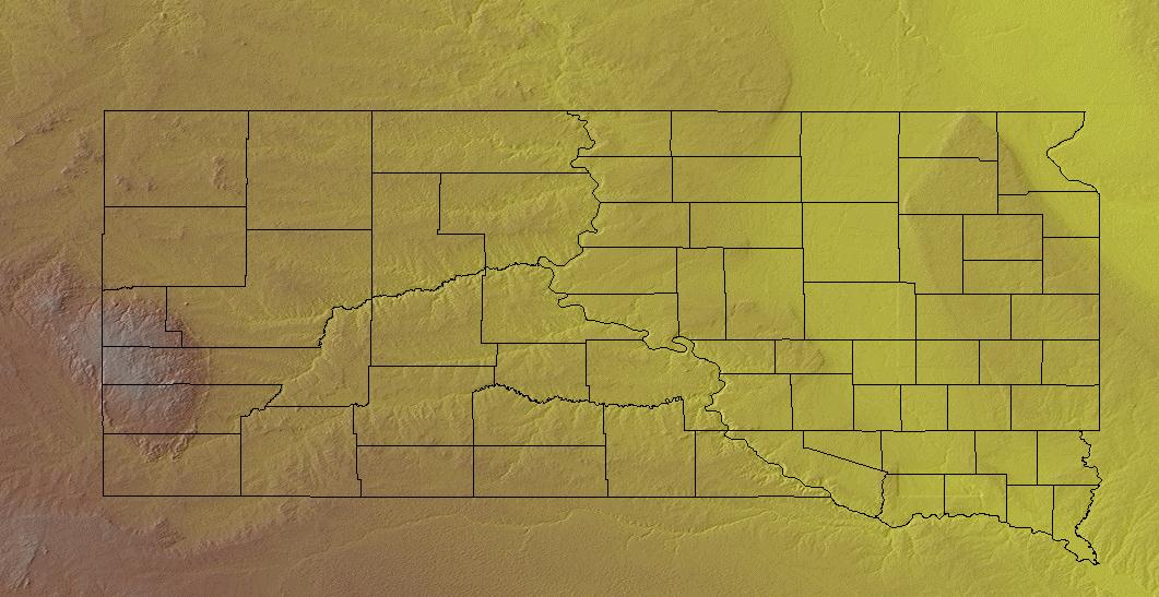
- County Profile:
South Dakota County Map , 67 Counties
- Geographic Center:
Hughes, 8 miles northeast of Pierre
- Highest Point:
Harney Peak ; 7,242 feet, (2,207 m.), 15th tallest
- Location:
- Absolute Center: 44°24.1’N / 100°28.7’W
- Relative Center: Hughes, 8 miles northeast of Pierre
- Distance Between U.S. Cities
- Lowest Point:
South Dakota; 962 feet, 45th lowest
- Maps:
- National Forest:
- Topography:
Image | | Prairie plains in the east; rolling hills of the Great Plains in the west; Black Hills in the southwest corner.
- Weather:
- Community and Technical Colleges:
- Nursing Schools:
- School Directory:
- Biographies:
- Community Pages:
- Current Events:
- Media:
- Newspapers:
- Sports:
- Yellow Pages:
- History:
- Economy:
- Agriculture: Cattle, hogs, wheat, soybeans, milk, corn.
- Industry: Food processing, machinery, lumber and wood products, tourism.
- White Pages:
- Internet Service Providers:
- Real Estate:
- Unclaimed Funds:

- Admission to Statehood:
November 2, 1889 (40th State)
- Area:
- Area: 77,121 sq.mi (199,743 sq.km.), 17th
- Land: 75,898 sq.mi. (196,575 sq.km.), 16th
- Water: 1,224 sq.mi. (3,170 sq.km.), 29th
- Constitution:
South Dakota’s Constitution , 40th State
- Capital City:
- Nickname:
- Population (2019):
844,877; Rank: 46 of 50 | Population Quick Facts
- Area Codes:
- Bird:
- Capital City:
- City Guides:
- Constitution:
South Dakota’s Constitution , 40th State
- Fast Facts:
- Flag:

The South Dakota flag features the state seal surrounded by a golden blazing sun in a field of sky blue. Letters reading “South Dakota, The Mount Rushmore State” — the official state nickname — are arranged in a circle around the sun. Get this Flag - Flower:
Pasque Flower (Pulsatilla hirsutissima) | Other State Flowers
- Largest Cities:
Sioux Falls | Rapid City | Aberdeen | Brookings | Watertown | Mitchell | Yankton | Pierre | Huron | Vermillion
- Nickname:
- Origin of State Name:
Based on the Sioux Indian word dakhota meaning “friend”
- Population (2019):
844,877; Rank: 46 of 50 | Population Quick Facts
- Soil:
Houdek
- Song:
- “Hail, South Dakota” | Words by: Deecort Hammitt | Music by: Deecort Hammitt
- Other State Songs | Sheet Music
- State Quarter:
- Symbols:
- Tree:
White Spruce (Picea glauca) | Other State Trees
- Zip Codes:
- Capital Tour:
- County Profile:
South Dakota County Map South Dakota County Map , 67 Counties
- Courts:
- Department of:
- Driving:
- Highway Markers:
- Local Resources:
- Public Records:
- Representatives:
- Roadside America:
- Vital Records: